
 From Wikipedia, the free encyclopedia
| Altstadt | |||
|---|---|---|---|
| Second-level subdivision of Hamburg German: Stadtteil[1] |
|||

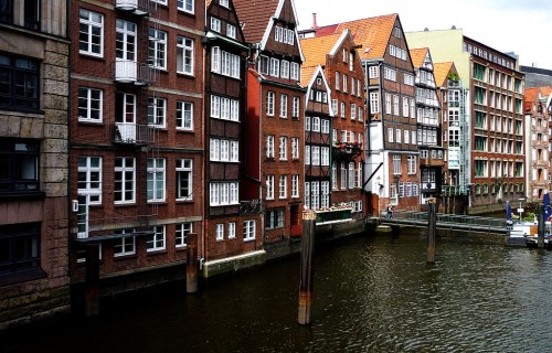
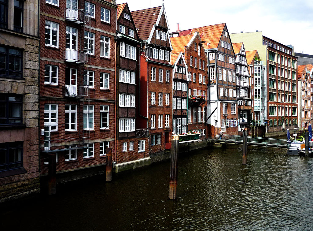
Nikolaifleet, one of a few remaining canals in Hamburg-Altstadt
|
|||
|
|||
 Location of Altstadt within Hamburg-Mitte |
|||
| Coordinates: 53°33′0″N 10°0′0″E / 53.55000°N 10.00000°E / 53.55000; 10.00000Coordinates: 53°33′0″N 10°0′0″E / 53.55000°N 10.00000°E / 53.55000; 10.00000 | |||
| Country | Germany | ||
| State | Hamburg | ||
| City | Hamburg | ||
| Borough (Bezirk) | Hamburg-Mitte | ||
| Area | |||
| • Total | 1.2 km2 (0.5 sq mi) | ||
| Elevation | 8 m (26 ft) | ||
| Population (31 December 2013) | |||
| • Total | 1,675 | ||
| • Density | 1,400/km2 (3,600/sq mi) | ||
| Time zone | CET (UTC+1) | ||
| Dialling code(s) | 040 | ||
| ISO 3166 code | DE-HH | ||
| Vehicle registration | HH | ||
| Website | www |
||

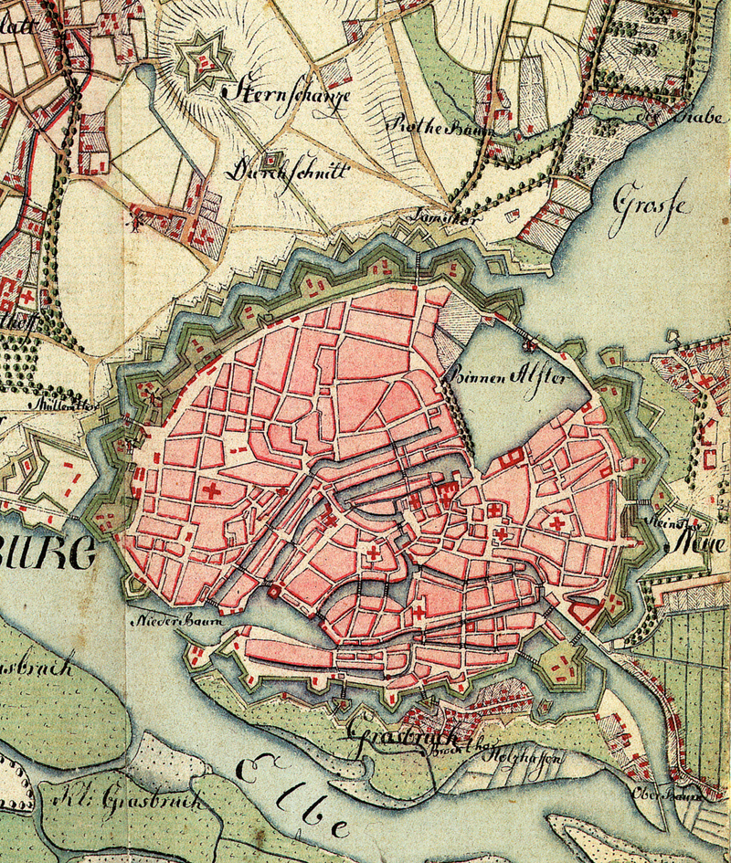
Altstadt (German pronunciation: [altʃtat], literally: “Old town“), more precisely Hamburg-Altstadt – as not to be mistaken with Hamburg-Altona-Altstadt – is one of the inner-city districts of the Free and Hanseatic City of Hamburg, Germany.
Visited 1491 times, 1 Visit today